
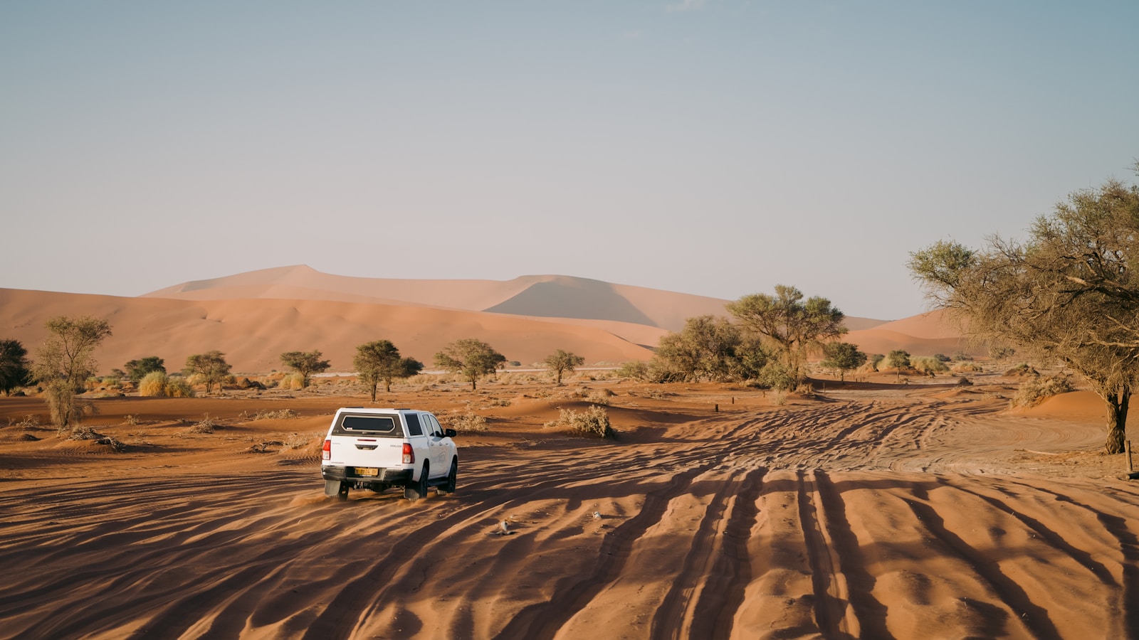
There are road trips where the driving is simply a way to get from one attraction to the next. Namibia feels completely different. Here, the road itself becomes one of the main experiences.
Start with this itinerary
Open this Namibia route in Honge as your starting point, then shape nights, activities and pace around how you travel.
Introduction
You might begin the morning surrounded by the enormous orange dunes of the Namib Desert, spend the afternoon crossing wide gravel plains, and arrive in the evening at the Atlantic coast where cold ocean air rolls through the desert. A few days later, the scenery changes again as you move into the rocky wilderness of Damaraland, where elephants and rhinos have adapted to an environment that appears almost too dry to support them. Finally, the landscape opens into Etosha National Park, where wildlife gathers around waterholes and the road becomes your safari vehicle.
This ten-day itinerary begins and ends in Windhoek and follows a practical route through the Namib Desert, the central Atlantic coast, Damaraland and Etosha. It includes some long driving days because Namibia is vast, but it avoids squeezing every famous destination into ten days. The idea is to experience a few places properly rather than collect too many places hurriedly.
Namibia's official tourism authority describes self-driving as a safe and recommended way to explore the country, while noting that at least 80% of the road network consists of gravel roads. Travellers are advised to allow extra time, keep speeds at or below around 80 km/h depending on conditions, and consider a sturdy 4x4 for clearance, safety and power.
Who This Namibia Road Trip Is For
Adventure travellers who enjoy independence — choosing when to stop, photograph and linger — while taking responsibility for fuel, the vehicle and road conditions.
Couples and friends for whom long drives become part of the holiday: taking turns when the rental allows, building playlists, and making spontaneous roadside stops.
Photographers drawn to dunes that change with the sun, coastal fog, Damaraland rock and light, and Etosha's minimalist wildlife landscapes.
Wildlife lovers and first-time safari travellers who want Etosha's self-drive waterhole network without committing to a fully guided safari from start to finish.
Best Time to Visit Namibia
Namibia can be visited year-round, but for this itinerary May through October is the easiest period to recommend for a first visit, especially if Etosha wildlife is a priority. Official tourism information identifies May to October as the best game-viewing period, when cooler, drier conditions encourage animals to spend more time around waterholes.
- June–October: Classic road-trip season — clear skies, dry landscapes and strong Etosha viewing. Book Sossusvlei and park stays well ahead.
- November–April: Greener country and excellent birding, but rain can affect gravel roads and make self-drive less predictable.
May to September is winter: pleasant days, much colder nights — especially in the desert. Pack layers, not only hot-weather clothes.
Where to Stay on This Route
Sossusvlei: Stay Around Sesriem
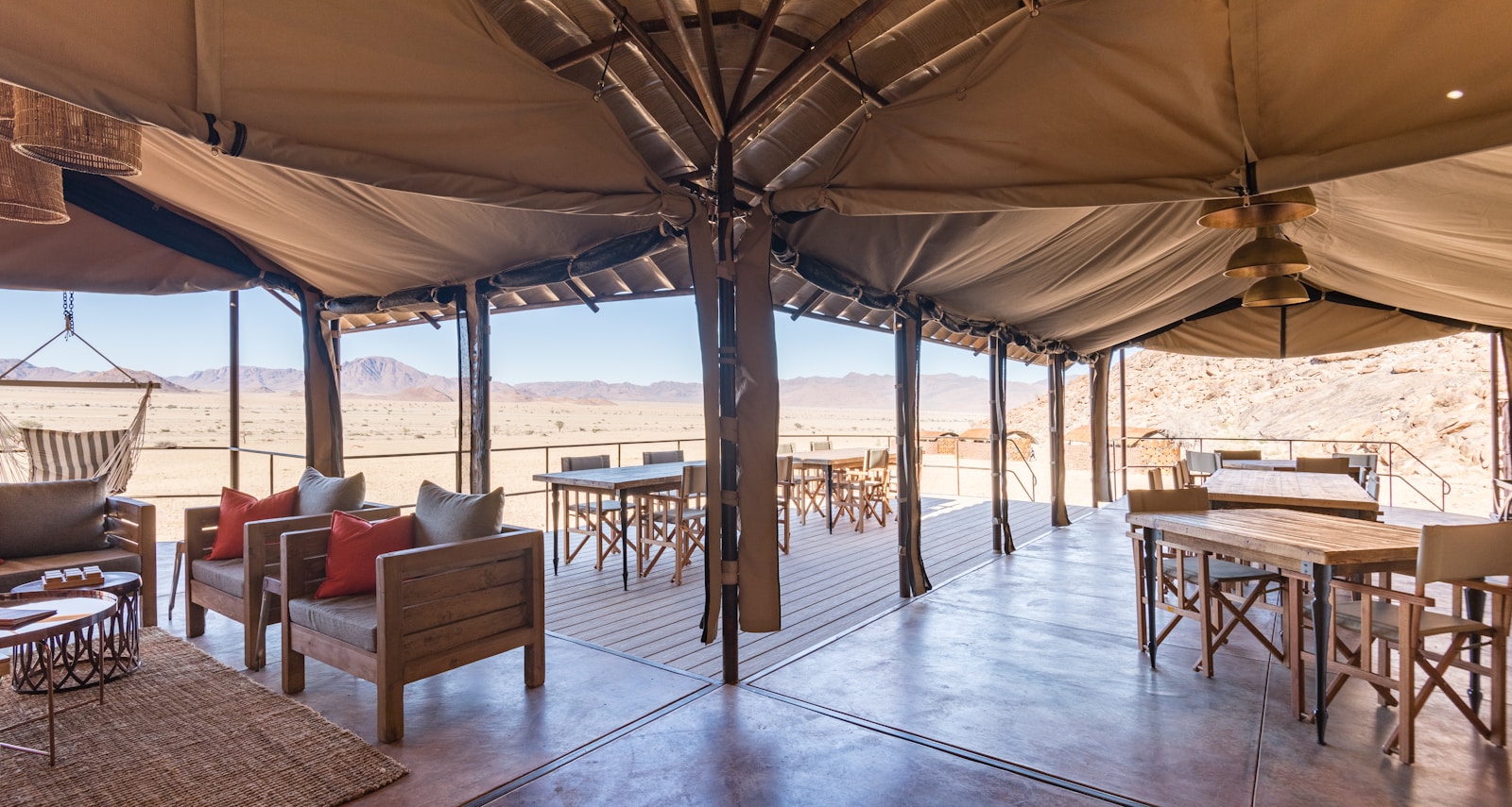
Stay in or around Sesriem rather than hours away. Sossusvlei is best early, and proximity means you are not adding a long pre-sunrise drive. Namibia Wildlife Resorts' Sossus Dune Lodge sits inside Namib-Naukluft National Park for sunrise and sunset access; Sesriem Campsite sits at the gateway with a filling station and shop. Distance from Windhoek is about 334 km.
Swakopmund: Stay Close to the Centre
Choose accommodation with easy access to the town centre, restaurants and waterfront so you are not back in the car for every dinner or coffee. The Namibia Tourism Board describes Swakopmund and Walvis Bay as a central-coast area where desert meets sea.
Damaraland: Choose the Lodge Around the Experience
Base your choice on what you want — desert-adapted elephants or black rhino tracking through a lodge or conservancy with guided access — not only on the nearest town.
Etosha: Base Yourself Near a Good Waterhole
Okaukuejo is a practical first Etosha base: close to the southern entrance, with a floodlit waterhole for after-dark viewing after long self-drive days.
Self-Drive Essentials Before Leaving Windhoek
Choose a proper 4x4 for clearance, stability and gravel capability — not only the cheapest rental. Official guidance also warns against leaving designated roads for difficult off-roading simply because you have a 4x4; for serious off-road terrain, use a guided experience, especially in fragile desert environments.
Fuel Planning Is Part of the Itinerary
Fill up in Windhoek, know your range, and top up whenever you have a sensible opportunity. Sesriem Campsite has an official filling station and shop. Carry drinking water and road snacks daily — remote delays stretch further than expected.
Why Driving Time Needs Extra Margin
Navigation apps make Namibia look deceptively simple. Gravel, wildlife, weather and photo stops mean journeys take longer than paved-road estimates. Official guidance specifically recommends allowing time for the drive and for stops along the way.
The 10-Day Route at a Glance
| Day | Route / Base | Main Experience | Pace |
|---|---|---|---|
| 1 | Windhoek → Sesriem | Collect the 4x4, drive into the Namib, settle near Sesriem | Moderate |
| 2 | Sesriem | Sossusvlei & Deadvlei at sunrise, Sesriem Canyon | Moderate |
| 3 | Sesriem → Swakopmund | Desert and gravel plains to the Atlantic | Moderate |
| 4 | Swakopmund | Desert-meets-ocean around Swakopmund & Walvis Bay | Easy–Moderate |
| 5 | Swakopmund → Damaraland | Rocky desert country and ancient landscapes | Moderate–Adventurous |
| 6 | Damaraland → Etosha | Desert-adapted wildlife, then transfer to Etosha | Adventurous |
| 7 | Etosha | Full self-drive waterhole safari day | Moderate |
| 8 | Etosha | Second safari day / optional camp move | Easy–Moderate |
| 9 | Etosha → Windhoek | Long return to the capital | Long but manageable |
| 10 | Windhoek | Relaxed morning and departure | Easy |
Day 1 — Windhoek to the Namib Desert
Pace: Moderate · Focus: Vehicle handover and the drive to Sesriem
After collecting your 4x4 in Windhoek, inspect the vehicle, locate the spare and tools, confirm roadside assistance, fill the tank and stock water and snacks. Download offline navigation before leaving — coverage thins in remote areas. Namibia Wildlife Resorts lists Sesriem at about 334 km from Windhoek; treat it as a full road-trip day, not a quick transfer.
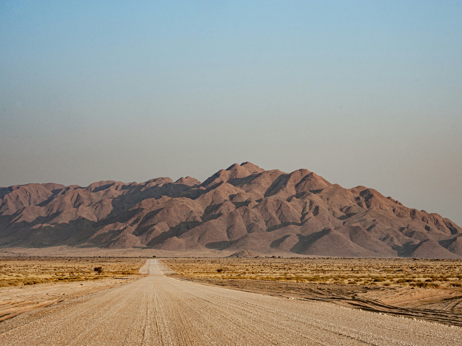
As the landscape grows drier, slow for gravel, stop safely for views, and observe any roadside wildlife from a distance. On arrival around Sesriem, check in and stop driving. Desert nights can drop sharply — keep a warm layer handy. Keep dinner simple and sleep early for sunrise.
Day 1 logistics: ~334 km · gravel possible · start full on fuel · Sesriem has fuel and a shop.
Day 2 — Sossusvlei at Sunrise
Pace: Moderate · Focus: Sossusvlei, Deadvlei, Sesriem Canyon
Wake before sunrise and drive into the dunes while the sky is still dark. Namibia Wildlife Resorts describes dunes here reaching around 325 metres; Sossusvlei and Deadvlei are defining Namib-Naukluft attractions. Make Deadvlei central — pale clay, dark camelthorn trees and orange dunes — then linger after the photographs.
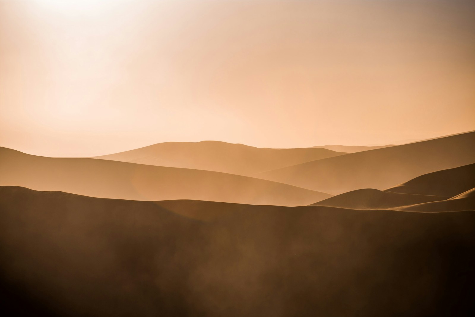
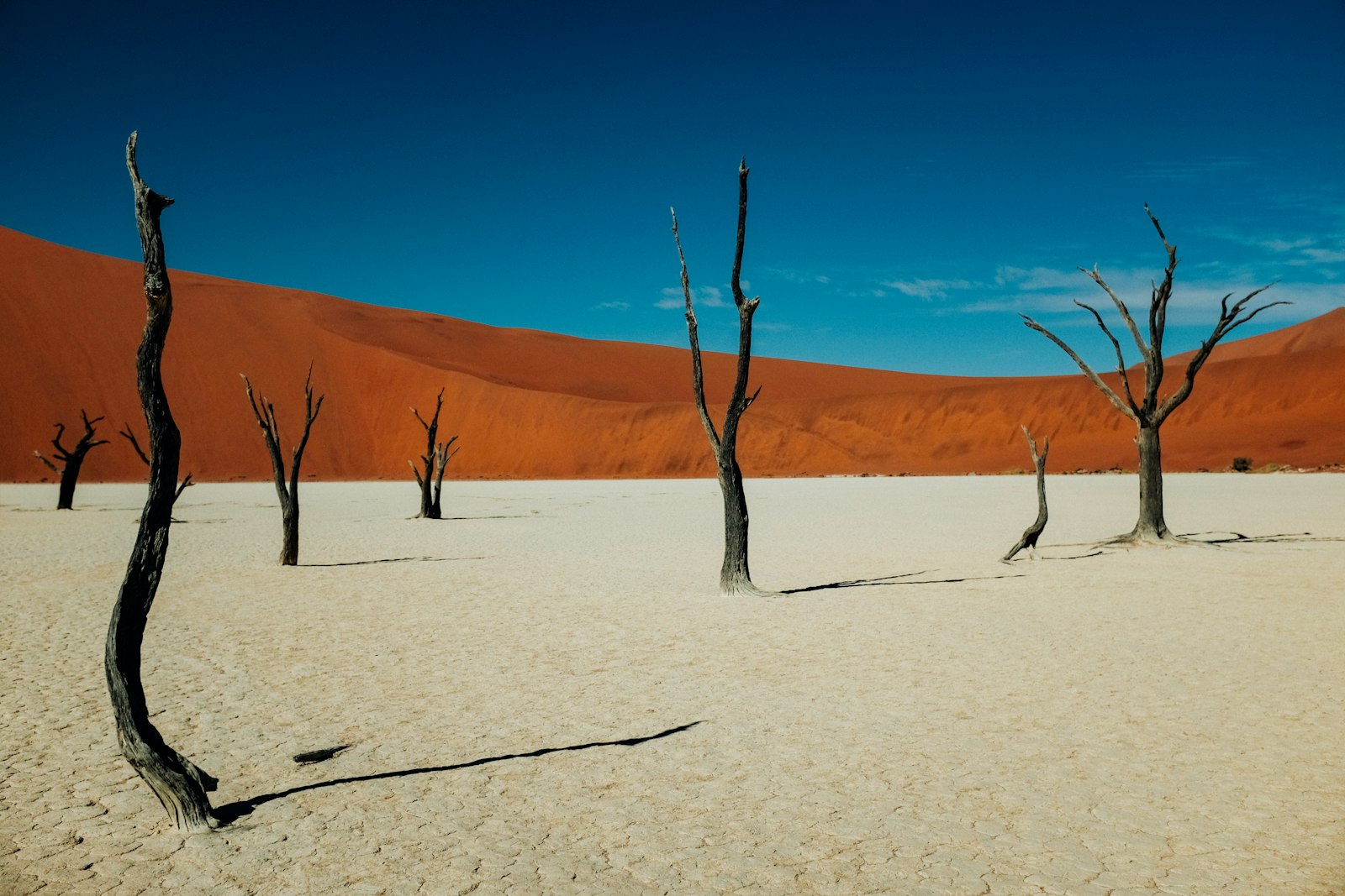
If you are not comfortable on the final sandy section, check current shuttle arrangements from Sesriem. Walk a manageable dune section with water; heat rises fast. In the afternoon, explore Sesriem Canyon (about 1 km long, sections 30–40 m deep) for a narrower contrast to the open dunes. End by watching the light change — and if skies are clear, Namibia's dark desert nights are exceptional for stargazing.
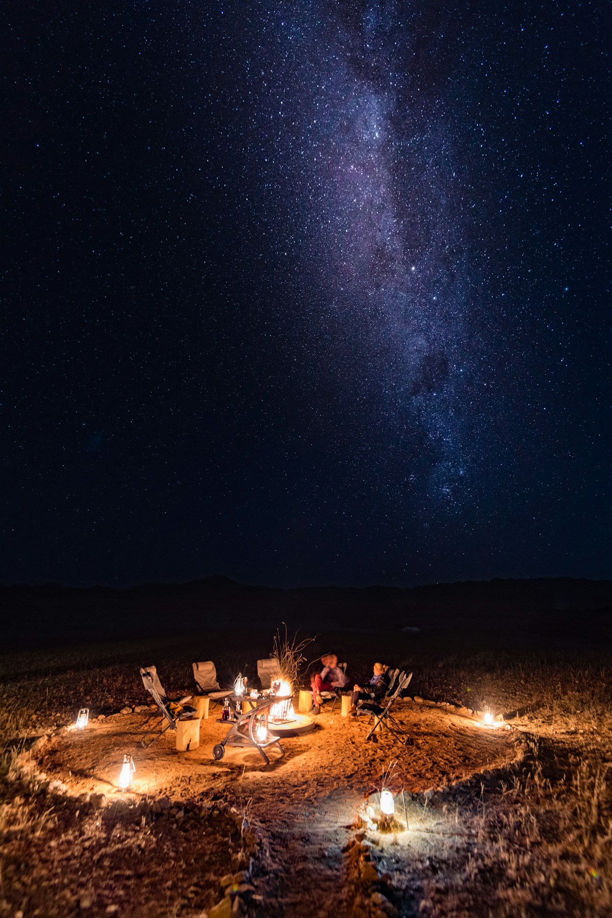
Day 2 logistics: Mostly local driving · early start · carry lots of water · check park access and shuttle rules · pack for cold morning and hot afternoon.
Day 3 — Sesriem to Swakopmund
Pace: Moderate · Focus: Desert plains to the Atlantic · ~350–370 km
Leave after a relaxed breakfast with fuel and water topped up at Sesriem. Watch the towering dunes fade into broader plains; keep gravel speeds conservative (around or below 80 km/h as conditions allow). Swakopmund can feel surreal after desert solitude — streets, cafés and the cold Atlantic. Walk the centre or waterfront and enjoy a proper restaurant dinner; seafood is an obvious choice.
Do not miss: Walk toward the ocean before dinner — desert beginning just behind the town makes Namibia's geography suddenly real.
Day 4 — Swakopmund and Walvis Bay
Pace: Easy to moderate · Focus: One substantial morning activity, open afternoon
Leave the 4x4 parked. Walvis Bay is about 30 km south; its lagoon is one of southern Africa's important wetlands, often with flamingos and shorebirds. Choose a morning boat cruise (seals, dolphins, seabirds) or a guided Sandwich Harbour 4x4 — use a reputable guide rather than dunes in your rental. Official guidance distinguishes ordinary self-drive from serious off-road.
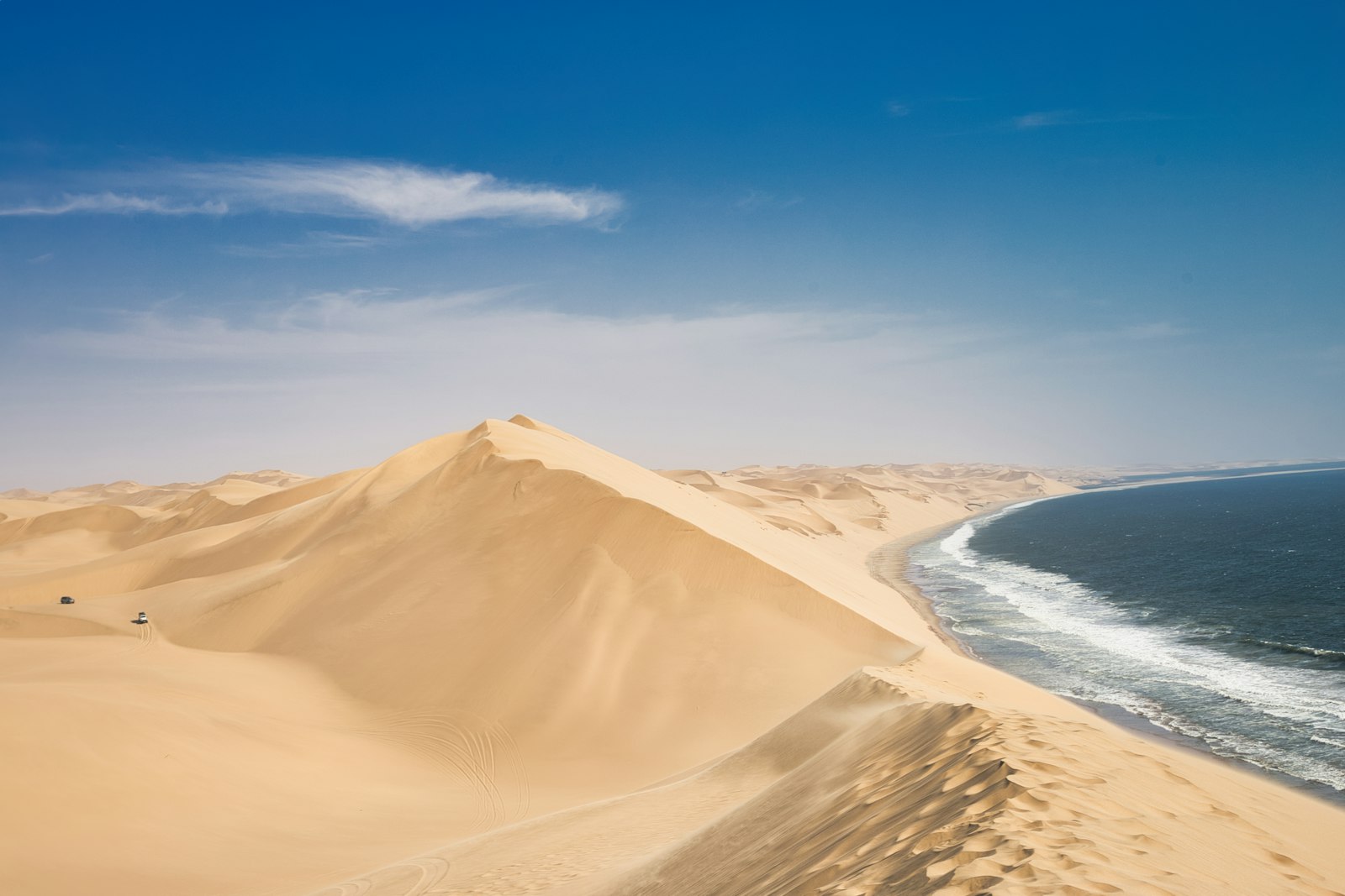
Return for lunch, slow down, and watch the Atlantic late afternoon — fog and the Benguela Current often create softer light than desert sunsets. Restock snacks and water before heading north.
Day 5 — Swakopmund to Damaraland
Pace: Moderate to adventurous · Focus: Inland to rocky wilderness
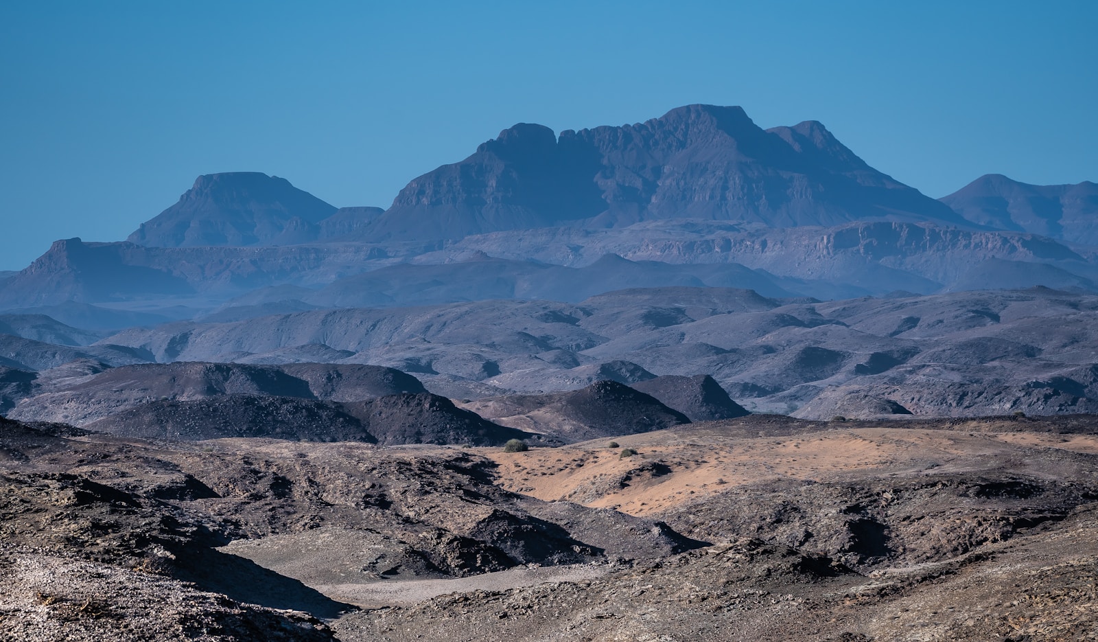
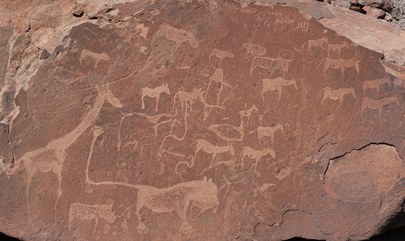
Fill the tank and check supplies — Damaraland is more remote, with limited services. Optional Spitzkoppe stop for granite formations; Twyfelfontein (UNESCO rock engravings) if timing allows — visit with a guide for context. Choose a lodge near the wildlife experience you want tomorrow.
A Note About the Skeleton Coast
The Skeleton Coast deserves its reputation, but a realistic ten-day self-drive should distinguish central-coast desert-meets-ocean (Swakopmund/Walvis Bay, optional Sandwich Harbour) from driving deep into remote Skeleton Coast National Park. Entry can require booking, facilities are limited, and off-road damage lasts. Add Skeleton Coast with extra days and planning — not squeezed into this route.
Day 6 — Damaraland to Etosha
Pace: Adventurous · Focus: Guided desert elephants, then transfer to Etosha
Strongly prefer a guided tracking experience — random driving rarely matches guides who read dry river systems and tracks. Official information highlights areas such as Palmwag for desert-adapted elephants and black rhino, especially in dry winter months.
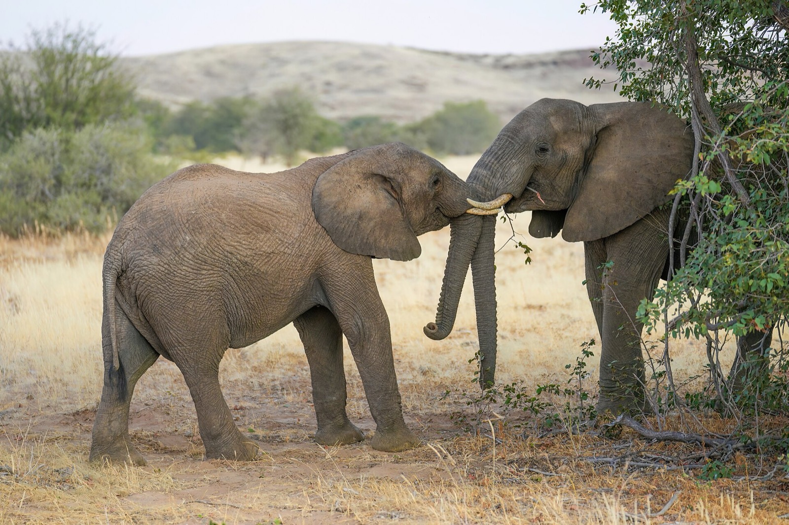
After brunch, transfer toward Etosha with fuel and water in mind; avoid night driving. Okaukuejo is convenient for a first night — floodlit waterhole with possible lions, elephants and black rhinos. Spend time at the waterhole after dark.
Day 7 — Etosha: First Full Self-Drive Safari
Pace: Moderate · Focus: Waterholes along the southern pan edge
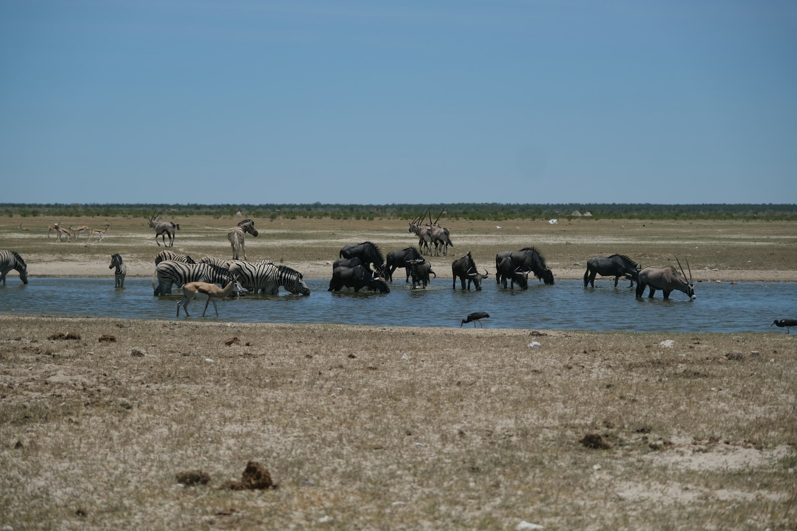
Start as early as park rules allow. Drive slowly, stop often, and wait at waterholes — dry-season viewing centres on reliable water. Use binoculars between stops; take a proper midday break. Return before gate closing and finish again at the Okaukuejo waterhole.
Day 8 — Etosha: One More Day to Look
Pace: Easy to moderate · Focus: Different routes, optional Halali move
Avoid repeating yesterday's loop. Moving toward Halali can reduce backtracking and open new waterholes. Western Galton sections offer different ecology if time and roads allow (~190 km Galton–Okaukuejo). Don't chase one missing species — appreciate what appears. End at a floodlit waterhole and watch golden-hour landscape even without major sightings.
Day 9 — Etosha to Windhoek
Pace: Long but manageable · Focus: Return transfer
Okaukuejo is about 420 km from Windhoek; actual time varies with route and stops. An optional short early game drive is fine if it does not create a stressful race to the capital. Check tyres and fuel, take a proper lunch break, arrive with energy left, park the vehicle and enjoy a final Windhoek dinner.
Day 10 — Windhoek: Slow Final Morning
Pace: Easy · Focus: Vehicle return and departure

Keep the morning light for vehicle return, airport transfer and delays. Optional Craft Centre or a short city stop if your flight is later. Confirm fuel-return terms and allow inspection time.
Namibia Road Trip Budget: What to Plan For
Costs vary widely with 4x4 type, lodge vs camping, and park-proximate stays. Couples sharing a vehicle often fare better than solo travellers. Prioritise a reputable rental with clear tyre, windscreen, assistance and permitted-area terms. Spend strategically near Sossusvlei, Damaraland and Etosha; simplify Windhoek or Swakopmund if balancing budget. Fuel adds up with distance and gravel. Choose one or two high-value guided activities rather than booking everything.
Practical Namibia Self-Drive Tips
- Drive on the left — adjust before remote gravel if you usually drive on the right.
- Conservative gravel speeds — roughly ≤80 km/h as conditions allow; allow extra time.
- Avoid night driving when possible — wildlife, visibility and unfamiliar roads.
- Carry more water than you think you need on desert and Damaraland days.
- Keep the tank comfortable — top up at reliable stations before remote stretches.
- Check tyres daily and know how the spare works before leaving Windhoek.
- Download maps and bookings offline before remote areas.
How to Adjust the Pace
More relaxed (12 days): Add a night in Damaraland and another in Etosha.
14 days: Consider a dedicated Skeleton Coast extension with proper planning.
More adventurous: Guided Sandwich Harbour, remoter Damaraland, or camping — but do not make every day intense.
More comfortable: Keep the same route and upgrade lodges near the experiences rather than adding destinations.
Frequently Asked Questions
Is 10 days enough for a Namibia road trip?
Yes, if you keep the route focused on Sossusvlei, Swakopmund, Damaraland and Etosha rather than Fish River Canyon or Caprivi.
Do I need a 4x4?
A sturdy 4x4 is strongly recommended for gravel roads and remote stretches on this route.
Can I self-drive in Etosha?
Yes — designated roads and waterholes, following park rules and staying in the vehicle except where permitted.
Is Namibia safe for self-drive?
It is one of southern Africa's more accessible self-drive destinations, but remote roads still need preparation and conservative driving.
Can I drive the Skeleton Coast alone?
Access and booking rules apply in parts of the park. For ten days, use Swakopmund/Walvis Bay (and optional guided Sandwich Harbour) instead.
Best month?
May–October is especially strong for first-timers wanting dry roads and Etosha wildlife.
Book Etosha ahead?
Yes — especially inside-park stays in peak dry season.
Is Namibia expensive?
Distances, 4x4 hire and remote lodges add cost; camping and selective activities help.
The Final Take
The journey is one of the highlights. Ten days gives a remarkable introduction — and you can slow it down, add Etosha or Damaraland nights, linger on the coast, or plan Skeleton Coast later. The best itinerary fits your pace and travel style.
Use this route as your starting point in Honge, then remix nights, activities and destinations until it feels made for you.
Ready to make it yours?
Customize this itinerary with AI
Tailor stays, activities and day-by-day pacing to your Namibia trip.
Related itineraries
- 8 Days in the Yucatán: Mérida, Chichén Itzá, Bacalar & Tulum
- 8-Day London and Southern England Itinerary: Museums, Cricket, Bath & Jurassic Coast
- 4-Day Santa Fe & Taos Itinerary: Art, Culture & Rio Grande Gorge
- 7-Day Harry Potter Britain Itinerary: London, Oxford & Scotland
- 10-Day Taiwan Solo Itinerary: Taipei Food, Nature & Culture
- 8-Day Canadian Rockies Road Trip: Calgary, Banff & Jasper
- 3-Day Maasai Mara Safari Itinerary for Friends & Couples
Written by
This blog was contributed by B. Sai Nikita, a travel enthusiast and writer. B. Sai Nikita can be reached at bsainikita10@gmail.com.
About Honge
Honge is an AI travel planning platform focused on practical, experience-led itineraries with realistic pacing and logistics. All blog content is edited and published by Honge. Our Namibia research draws on updated practical logistics as of August 2026. © Honge. All rights reserved.
Image credits: Photos are sourced from Unsplash and Wikimedia Commons. Copyright remains with their respective photographers and rights holders. Unsplash images are used according to the Unsplash License. Wikimedia Commons images are used according to their applicable CC BY-SA 4.0 license terms.
Travel disclaimer
This itinerary is intended as general travel inspiration and planning guidance only — not as personalised travel advice. Conditions change. Before you travel, check the current entry requirements, visa rules, and any travel advisories issued by your government for Namibia. Review weather forecasts for your specific travel dates, confirm gravel-road conditions, park gate times, fuel availability, lodge and campsite bookings, and ticket or permit requirements directly with operators and official sources, and take out comprehensive travel insurance that covers medical, cancellation, vehicle-related disruption and evacuation where relevant. Honge is not responsible for any changes to conditions, services, or experiences described in this article after the date of publication.